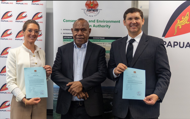
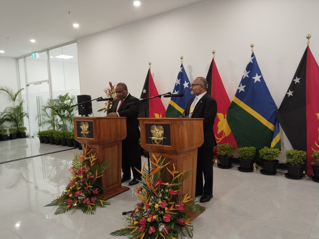

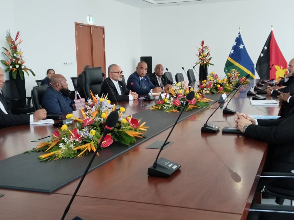
PNG, SOLOMON ISLANDS SIGN NEW FIVE-YEAR COOPERATION AGREEMENT
Papua New Guinea and the Solomon Islands have taken a major step toward strengthening their bilateral relationship by signing a new Framework

TRDC SET TO LAUNCH INAUGURAL RESISTANCE INTENSIVE WORKSHOP
The Resistance Dance Company (TRDC) is preparing to host its inaugural Resistance Intensive workshop on Saturday, 27 June 2026 at the Moresby Arts
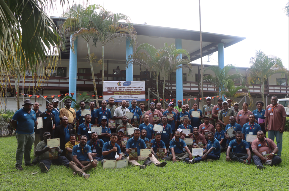
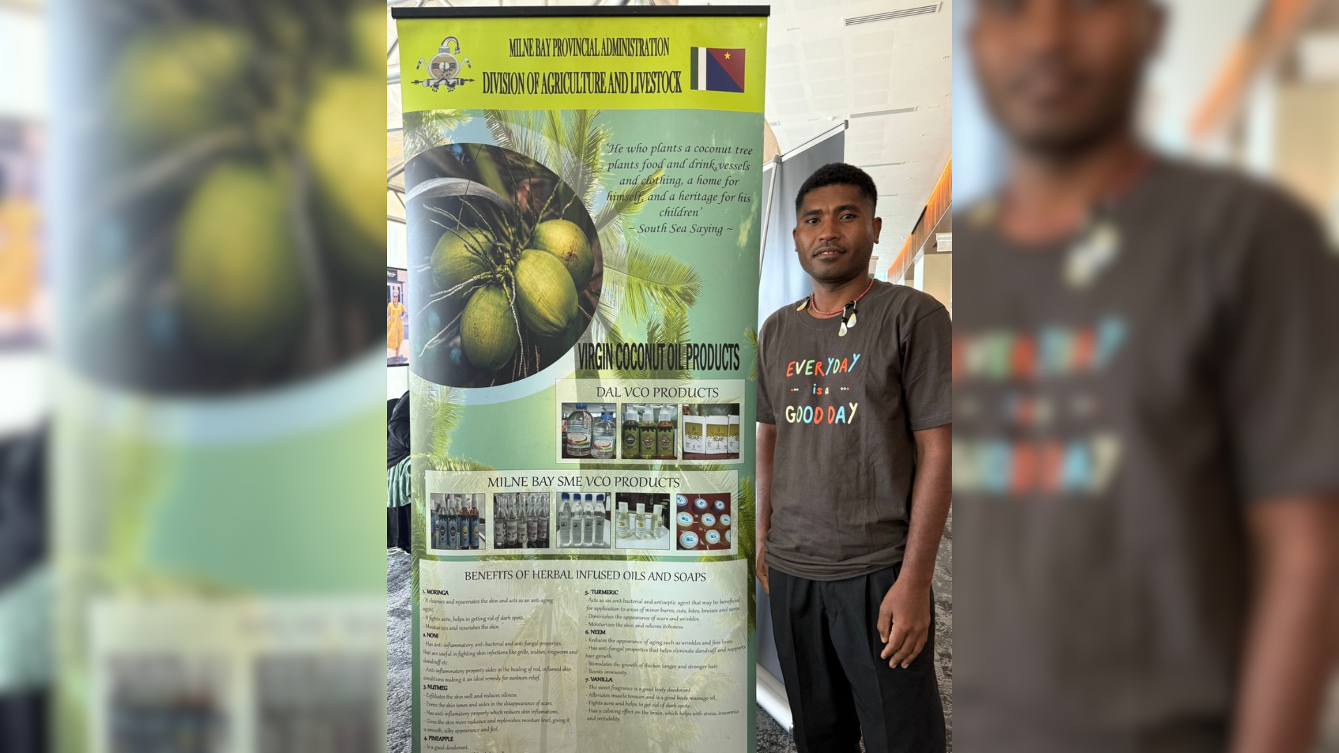
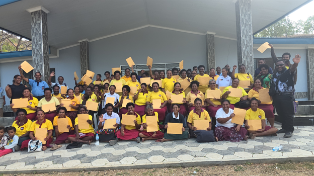
EXTENSION OFFICERS URGED TO PROMOTE COCOA FARMING AS A BUSINESS
Cocoa Board Chief Executive Officer (CEO) Jesse Tukup Anjen has challenged extension and field officers to return to their respective provinces and
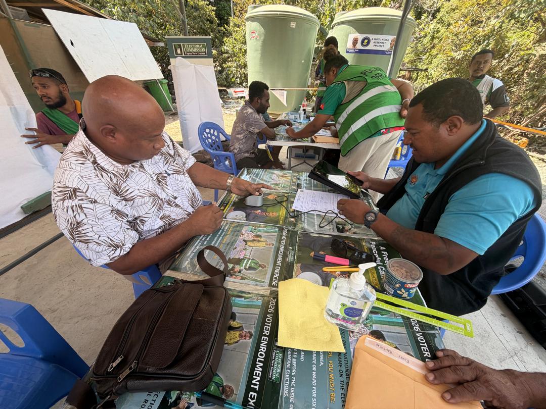
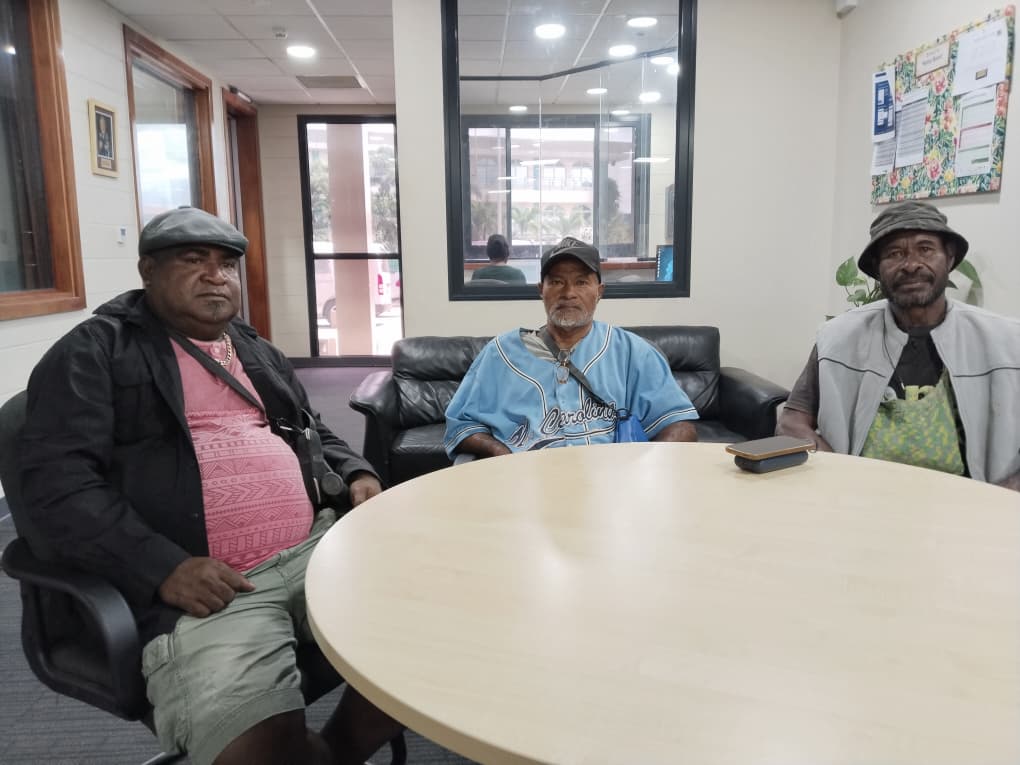
VABUKORI WARD MEMBER COMMENDS PNGEC FOR BIOMETRIC ENROLLMENT
Vabukori village, Ward Councilor/Member – Turaho Morea, has thanked the National Government and the Papua New Guinea Electoral Commission (PNGEC)
 MORE NEWS
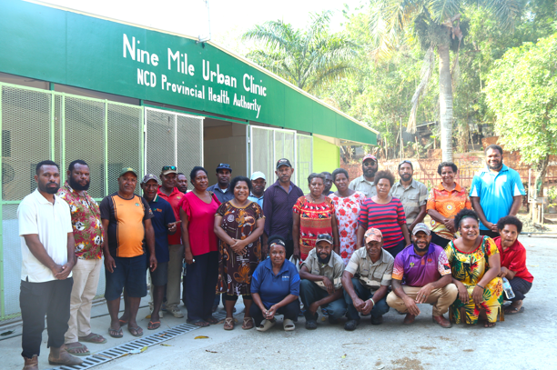
WATERAID AND NCDPHA ADVANCE WASH AT 9 MILE URBAN CLINIC
WaterAid Papua New Guinea (WAPNG), in partnership with the National Capital District Provincial Health Authority (NCDPHA), has successfully
 MORE NEWS
SIRINUMU DAM RUNNING LOW, PEOPLE URGED TO CONSERVE WATER & POWER
The residents of Port Moresby city and parts of Central province are being urged to use water and electricity wisely as water levels at Sirinumu Dam
 MORE NEWS
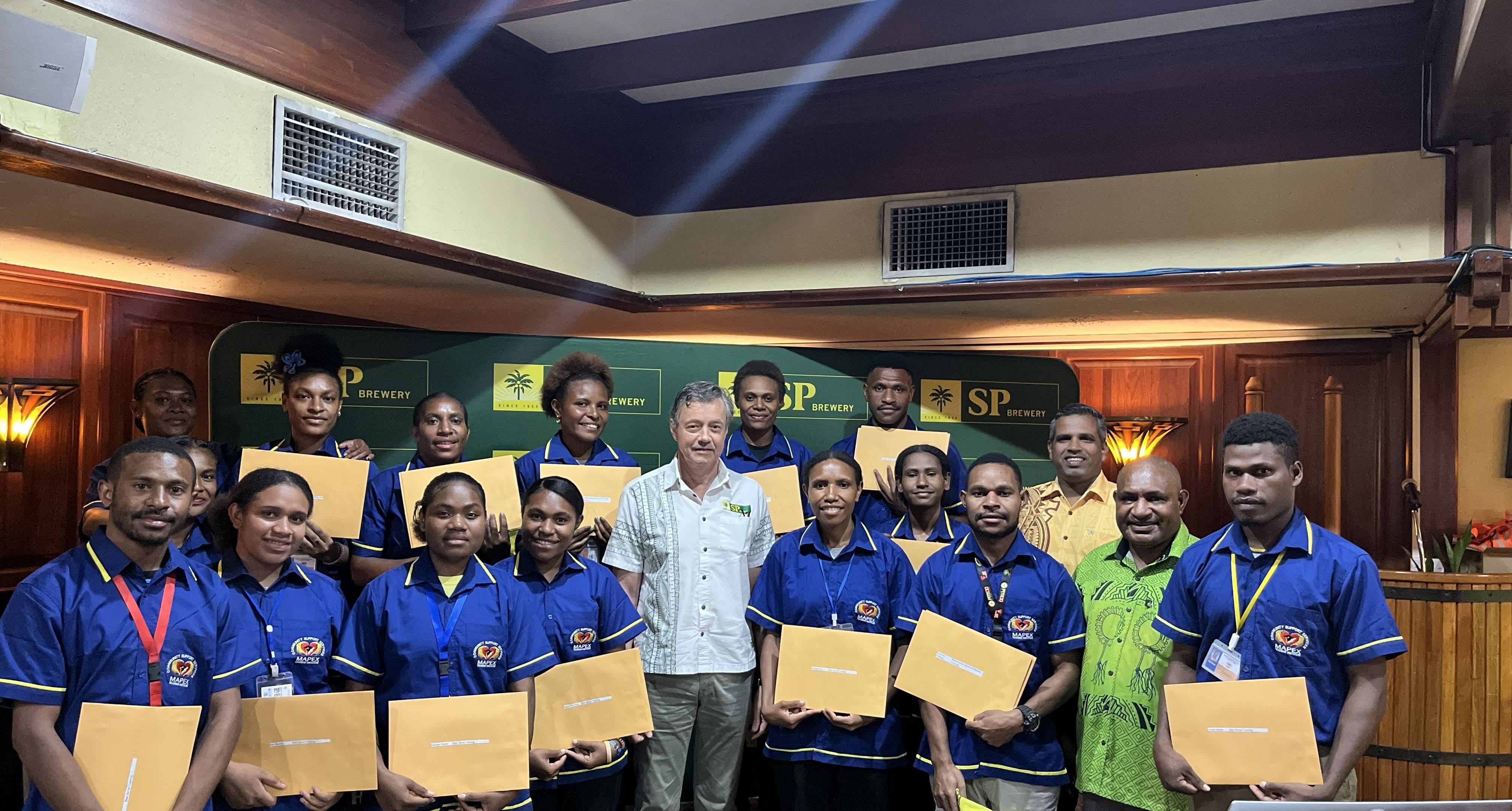
SP BREWERY TRAININGS HOSPITALITY STUDENTS IN RESPONSIBLE ALCOHOL SERVICE
Fifteen tourism and hospitality students from Mapex Training Institute have completed the Responsible Service of Alcohol (RSA) training delivered by
 MORE NEWS
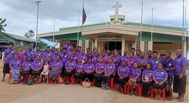
UNITED CHURCH YOUTHS MEET FOR URBAN REGION YOUTH CONVENTION IN LAE
More than 100 youths from the communities of Poreporena (Hanuabada) and Elevala in Port Moresby city, have departed for Lae in Morobe Province to
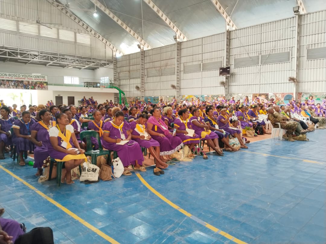
MILITARY WIVES ENCOURAGED TO TAKE ACTION AGAINST CERVICAL CANCER
Military wives attending the 9th Biennial Military Wives Convention have been urged to take proactive steps to protect their health through regular
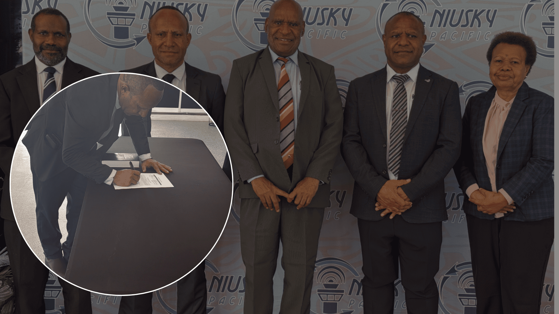
NIUSKY PACIFIC LIMITED APPOINTS KIAKARI AS NEW BOARD CHAIRMAN
Mr. Jackson Kiakari was sworn in today as the newly appointed Chairman of the Board of Directors for Niusky Pacific Limited, at the Head Quarters in
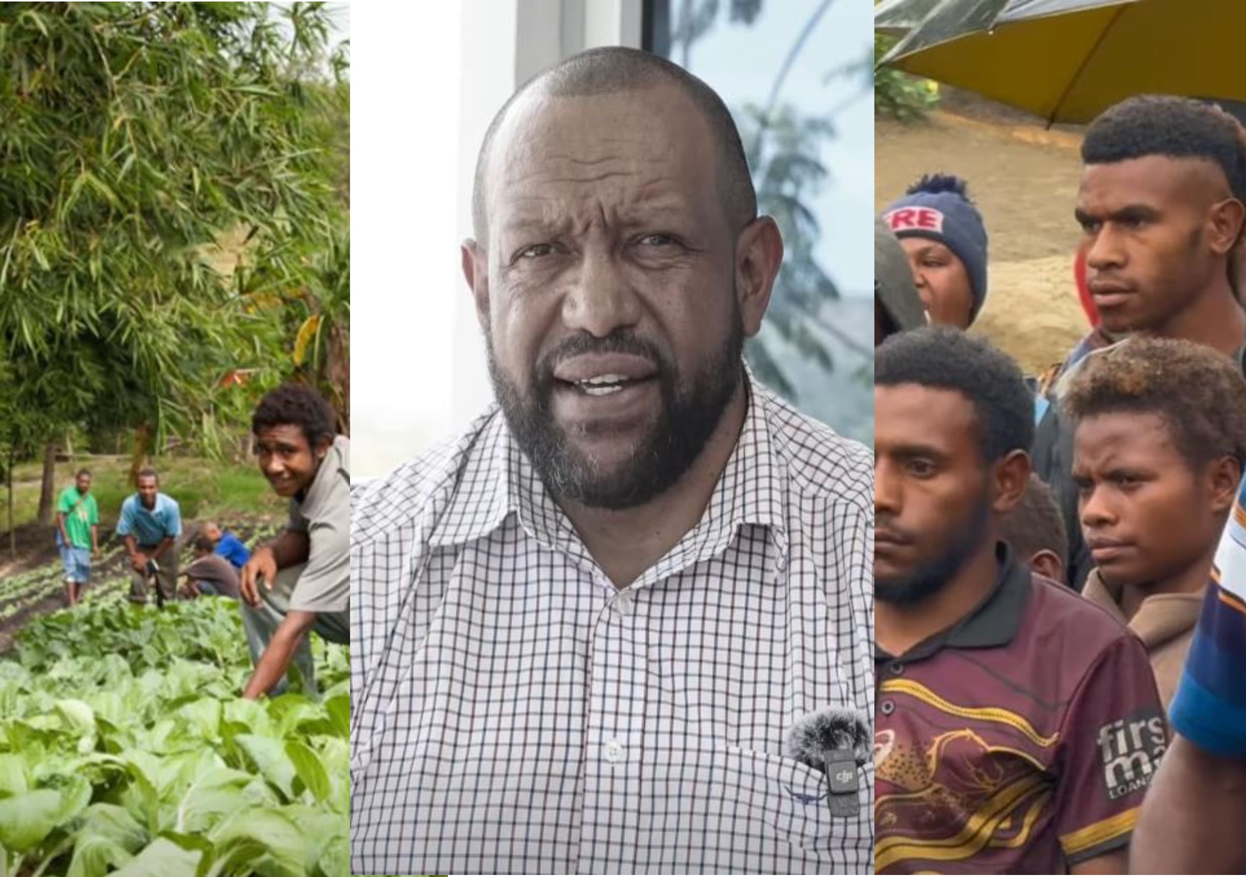
OPPOSITION CALLS FOR URGENT ACTION TO HARNESS PNG’S YOUTH
Opposition leader and Member for Chuave James Nomane has called on the Government to take immediate action to address what he’s describing as a

KIUNGA AIRPORT RUNWAY RESTRICTIONS EXTENDED AS UPGRADE WORKS CONTINUE
Commercial flights into Kiunga will remain temporarily suspended until at least September 2026 as major runway upgrade works continue at Kiunga

SCOREBOARD
| Date | Time | Team | Score | Team |
|---|---|---|---|---|
| Loading... | ||||

 SPORTS
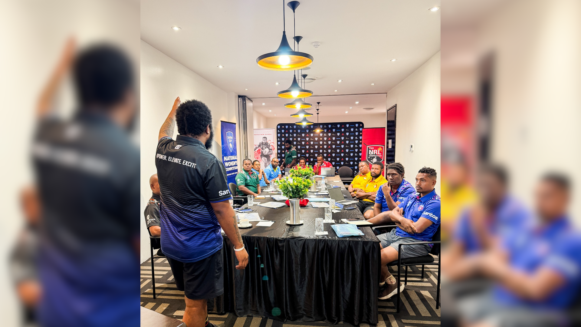
PNGNRLC HOSTS COACHES CONFERENCE TO RAISE STANDARDS IN SANTOS CUP
The Papua New Guinea National Rugby League Competition (PNGNRLC) has reinforced its commitment to developing women's rugby league by hosting the 2026
 SPORTS
KANDES MAINTAIN TOP SPOT DESPITE A DRAW
Competition leaders the Kandes and the Moni Plus NCDC Port Moresby Vipers shared the spoils in an entertaining 16-all draw at Ron Albert Oval on
 SPORTS
GURIAS SHINE AT HOME WITH CONVICING WIN OVER WAGHI TUMBE
The ENB Agmark Gurias thrilled their home supporters at Queen Elizabeth Park on Saturday with a commanding 38-20 victory over the Asila Waghi Tumbe
 SPORTS
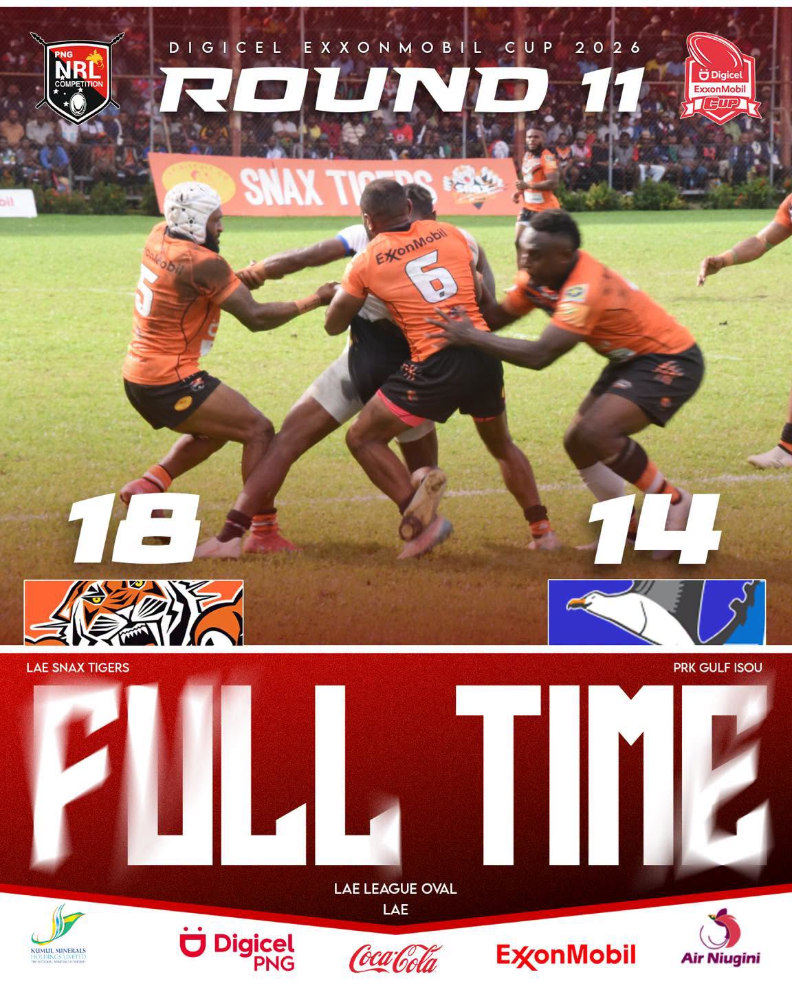
TIGERS HOLD OFF GULF ISOU IN THRILLING LAE LEAGUE GROUND BATTLE
The Lae Snax Tigers have secured a hard-fought 18-14 victory over PRK Gulf Isou in a thrilling Round 11 clash of the Digicel ExxonMobil Cup at the
Skelim Pilai
Subscribe

BREAKING: US PRESIDENT RUSHED OFF STAGE, SHOOTER APPREHENDED
The United State President Donald Trump, the First Lady Melania Trump and various members of the cabinet were evacuated at the White House

GUERNSEY WILL MONITOR NIPAH VIRUS SITUATION
The States of Guernsey will continue to monitor cases of Nipah virus reported in India, it has said. Nipah can spread from animals to humans and is

TWITTER TO BE PART OF A PAID SUBSCRIPTION
The New York Times has lost its blue tick on Twitter after it said it would not pay to remain verified. Twitter has started removing verification

FENTANYL- A KILLER DRUG'S TRAIL OF DESTRUCTION
Fentanyl is a deadly, synthetic opioid, 50 times more powerful than heroin. Americans are dying from it at such an alarming rate, that the US has


![SERIES REVIEW: RIPE TOWN (EPISODE [1])](https://pnghauslain.com/wp-content/uploads/2026/06/06edba191a6832b014eafd61280d88ac.jpg)